About warmingham Parish Council
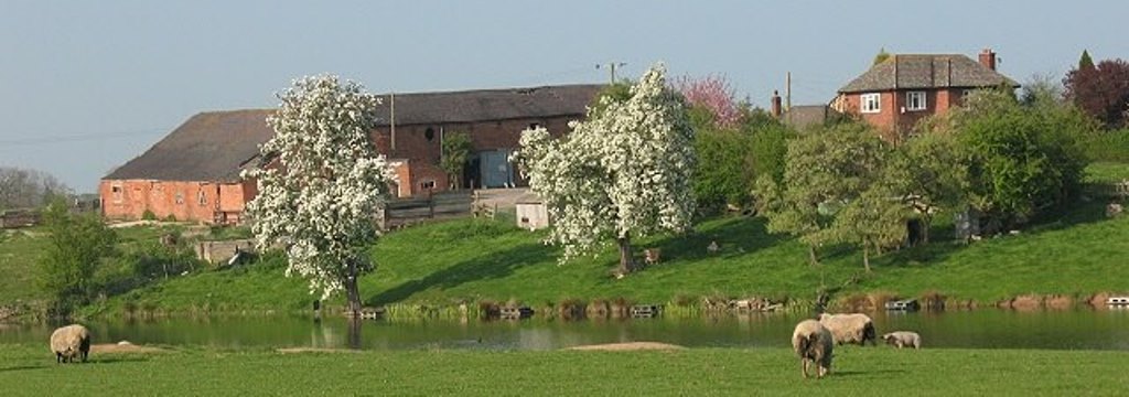
Warmingham is a village and civil parish in the unitary authority of Cheshire East and ceremonial county of Cheshire, England, on the River Wheelock (at SJ708611), 3.25 miles (5.23 km) north of Crewe, 3.25 miles (5.23 km) south of Middlewich and 3.25 miles (5.23 km) miles west of Sandbach. The parish also includes the small settlement of Lane Ends,[1] with a total population of just under 250. Nearby villages include Minshull Vernon, Moston and Wimboldsley.
The land is mentioned in the Domesday Book of 1086, with a village being documented from the 13th century. The oldest surviving building dates from the late 16th century. In the 17th and 18th centuries the parish had a finery forge, which was among the earliest in the county. The area is agricultural, with dairy farming the predominant land use. The Northwich Halite Formation, a Triassic salt field, underlies the parish, and there is a long history of local salt production, with the Warmingham brine field remaining an important source of the mineral. Cavities in the salt-bearing stratum are used to store natural gas. Several flashes were created in the 20th century by subsidence after natural brine pumping in the area, some of which form part of a Site of Special Scientific Interest. The village maintains the tradition of holding a wake each May. (from Wikipedia)
Warmingham Latest News

2024 Warmingham Wakes
Our annual village fete, ‘Warmingham Wakes’ is on the 4th May 1-30pm to 4.00pm, at St Leonard’s Church Field, School Lane, Warmingham. CW11 3QP